News & Events

Every year, shoppers wait eagerly for Black Friday—the biggest shopping event in the U.S. and many other countries. But in recent years, Black Friday has changed a lot. Retailers no longer wait until the Friday after Thanksgiving. Instead, many start...
Continue reading

NOYAFA Invites You to Visit Us at CAIRO ICT 2025 We are pleased to inform you that Shenzhen Noyafa Electronic Co., Ltd will be exhibiting at the upcoming CAIRO ICT 2025 — the leading International Technology Fair & Forum for...
Continue reading
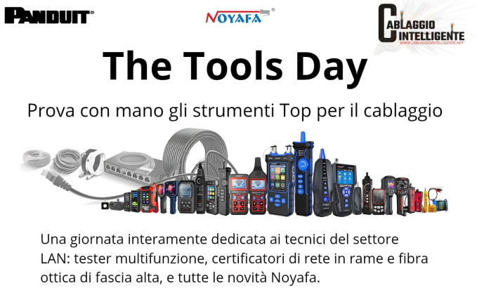
We are excited to announce that our upcoming Tools Day will be held in Italy!This special offline event is designed to bring together industry experts, professionals, and partners for an afternoon of innovation, hands-on experience, and networking. Why You Should...
Continue reading
Hi, NOYAFA fans! Do you know that it's the 18th birthday of NOYAFA? To celebrate it, we have launched this easy and exciting project: the NOYAFA Rewards Program! This program is to let us know how you feel about NOYAFA....
Continue reading
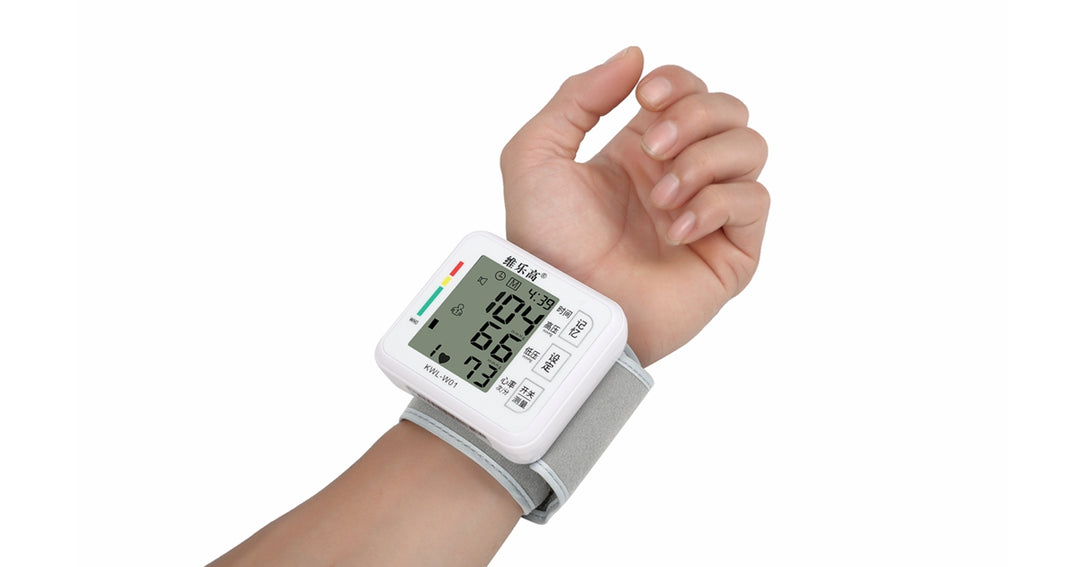
Fast and accurate blood pressure measurement at home Noyafa announced that NF-KWL-W01, NF-KWL-B01, NF-KWL-B03 (G3-NIBPM) electronic sphygmomanometers all adopt imported SOC chip and DFFA double-filter fuzzy algorithm and high-precision resistance gas pressure sensor, and the pressure synchronization of micro pressure...
Continue reading